End of the beat
Introduction
The photograph on this page of End of the beat by Eirian Evans as part of the Geograph project.
The Geograph project started in 2005 with the aim of publishing, organising and preserving representative images for every square kilometre of Great Britain, Ireland and the Isle of Man.

There are currently over 7.5m images from over 14,400 individuals and you can help contribute to the project by visiting https://www.geograph.org.uk
End of the beat
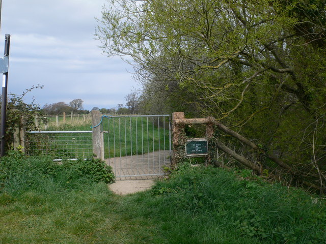
Image: © Eirian Evans Taken: 20 Apr 2012
The boundary marks the top end of St Asaph Angling Association beat on the river Elwy, south of Rhuddlan.
Images are licensed for reuse under creativecommons.org/licenses/by-sa/2.0
Image Location
Latitude
53.273006
Longitude
-3.454084