Clifford Bank Farm
Introduction
The photograph on this page of Clifford Bank Farm by Nigel Mykura as part of the Geograph project.
The Geograph project started in 2005 with the aim of publishing, organising and preserving representative images for every square kilometre of Great Britain, Ireland and the Isle of Man.

There are currently over 7.5m images from over 14,400 individuals and you can help contribute to the project by visiting https://www.geograph.org.uk
Clifford Bank Farm
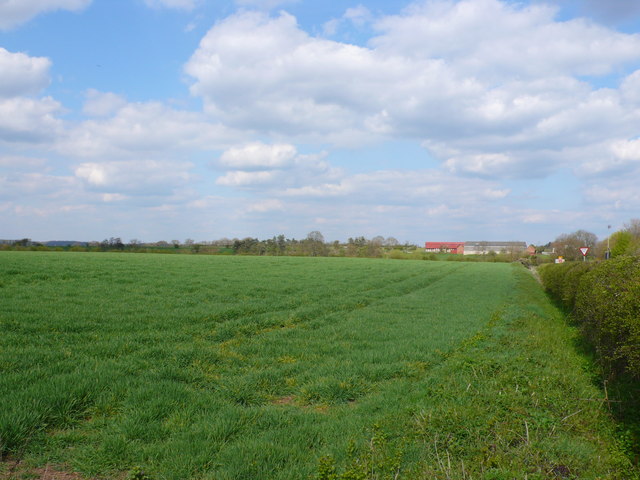
Image: © Nigel Mykura Taken: 16 Apr 2012
The farm buildings are on the right in the distance. The line of trees and bushes across the middle of the image mark the line of the River Stour just in front of the farm. On the right behind the hedge is the minor road to Weston and Welford. The give way sign marks its junction with the B4632 road to The Quintons and Mickleton.
Images are licensed for reuse under creativecommons.org/licenses/by-sa/2.0
Image Location


Leaflet Map data © OpenStreetMap
Latitude
52.17231
Longitude
-1.716135