The Swinton Tavern
Introduction
The photograph on this page of The Swinton Tavern by Richard Webb as part of the Geograph project.
The Geograph project started in 2005 with the aim of publishing, organising and preserving representative images for every square kilometre of Great Britain, Ireland and the Isle of Man.

There are currently over 7.5m images from over 14,400 individuals and you can help contribute to the project by visiting https://www.geograph.org.uk
The Swinton Tavern
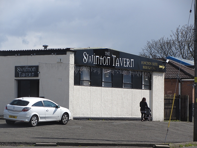
Image: © Richard Webb Taken: 23 Apr 2012
On Swinton Road which is now cut and just a side road. It has been replaced by a modern bypass type road to the west.
Images are licensed for reuse under creativecommons.org/licenses/by-sa/2.0
Image Location
Latitude
55.857159
Longitude
-4.106556