Henna Mill
Introduction
The photograph on this page of Henna Mill by Derek Harper as part of the Geograph project.
The Geograph project started in 2005 with the aim of publishing, organising and preserving representative images for every square kilometre of Great Britain, Ireland and the Isle of Man.

There are currently over 7.5m images from over 14,400 individuals and you can help contribute to the project by visiting https://www.geograph.org.uk
Henna Mill
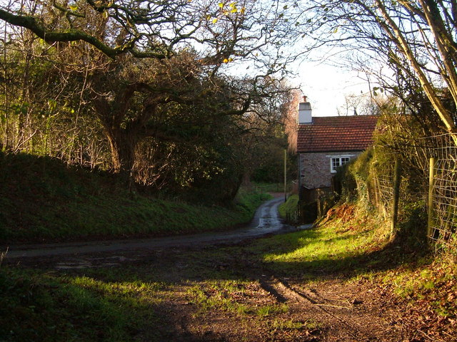
Image: © Derek Harper Taken: 9 Dec 2006
The bridleway from Borough Farm emerges onto a lane here. The name is probably more to do with domestic fowl than dyes. The building is some 50 metres from the Newton Stream, but doubtless there was a leat.
Images are licensed for reuse under creativecommons.org/licenses/by-sa/2.0
Image Location


Leaflet Map data © OpenStreetMap
Latitude
50.323147
Longitude
-3.9807