Orange Way in Devon and Torbay (492)
Introduction
The photograph on this page of Orange Way in Devon and Torbay (492) by Shazz as part of the Geograph project.
The Geograph project started in 2005 with the aim of publishing, organising and preserving representative images for every square kilometre of Great Britain, Ireland and the Isle of Man.

There are currently over 7.5m images from over 14,400 individuals and you can help contribute to the project by visiting https://www.geograph.org.uk
Orange Way in Devon and Torbay (492)
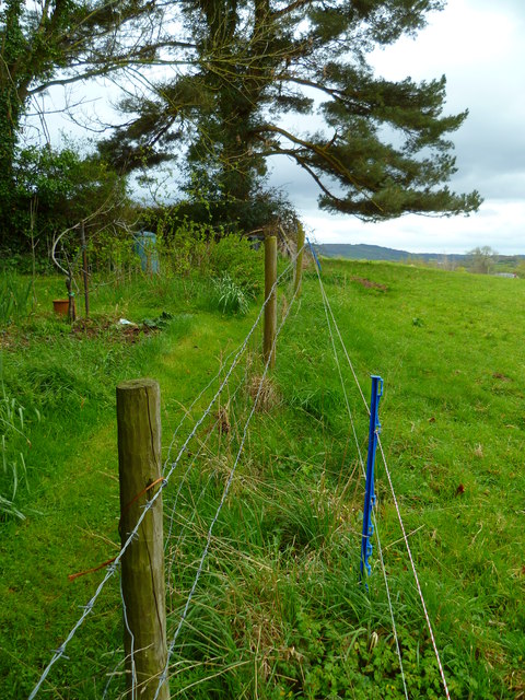
Image: © Shazz Taken: 18 Apr 2012
Something's wrong here! To the left there's barbed wire and to the right live electric fencing. (I sustained one snag from the former and two shocks from the latter.) The OS Explorer map I had with me suggests I was in the wrong place whereas the map on this site (showmap) signals otherwise. Well, anyway, I survived.
Images are licensed for reuse under creativecommons.org/licenses/by-sa/2.0
Image Location
Latitude
50.79119
Longitude
-3.024841