Bridleway to Old Park Farm, near Cloatley
Introduction
The photograph on this page of Bridleway to Old Park Farm, near Cloatley by Vieve Forward as part of the Geograph project.
The Geograph project started in 2005 with the aim of publishing, organising and preserving representative images for every square kilometre of Great Britain, Ireland and the Isle of Man.

There are currently over 7.5m images from over 14,400 individuals and you can help contribute to the project by visiting https://www.geograph.org.uk
Bridleway to Old Park Farm, near Cloatley
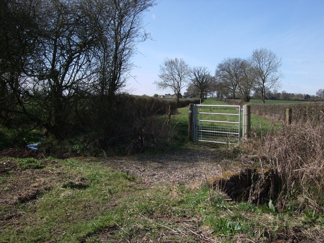
Image: © Vieve Forward Taken: 6 Apr 2012
Here the bridleway crosses a small stream and enters a wide green lane. Old Park Farm can be seen at the end of the lane in the distance.
Images are licensed for reuse under creativecommons.org/licenses/by-sa/2.0
Image Location
Latitude
51.611709
Longitude
-2.019015