Farmland, Manningford
Introduction
The photograph on this page of Farmland, Manningford by Andrew Smith as part of the Geograph project.
The Geograph project started in 2005 with the aim of publishing, organising and preserving representative images for every square kilometre of Great Britain, Ireland and the Isle of Man.

There are currently over 7.5m images from over 14,400 individuals and you can help contribute to the project by visiting https://www.geograph.org.uk
Farmland, Manningford
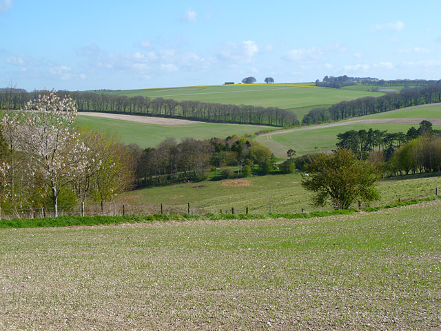
Image: © Andrew Smith Taken: 15 Apr 2012
A view across Bohune, Bruce and Abbots Downs from the bridleway beside the Trenchard Lines barracks.
Images are licensed for reuse under creativecommons.org/licenses/by-sa/2.0
Image Location
Latitude
51.299288
Longitude
-1.764434