Fork in the road on Roughdown Common.
Introduction
The photograph on this page of Fork in the road on Roughdown Common. by Graham Hale as part of the Geograph project.
The Geograph project started in 2005 with the aim of publishing, organising and preserving representative images for every square kilometre of Great Britain, Ireland and the Isle of Man.

There are currently over 7.5m images from over 14,400 individuals and you can help contribute to the project by visiting https://www.geograph.org.uk
Fork in the road on Roughdown Common.
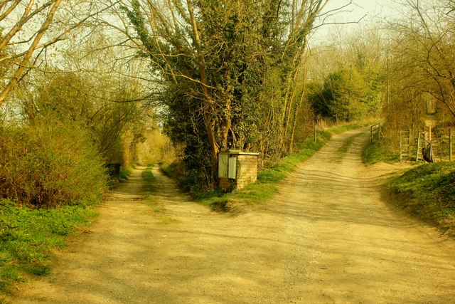
Image: © Graham Hale Taken: 3 Apr 2012
Unpaved roads serve scattered settlements on the fringe of Roughdown Common, Boxmoor.
Images are licensed for reuse under creativecommons.org/licenses/by-sa/2.0
Image Location
Latitude
51.740233
Longitude
-0.484905