Nottingham - NG3
Introduction
The photograph on this page of Nottingham - NG3 by David Hallam-Jones as part of the Geograph project.
The Geograph project started in 2005 with the aim of publishing, organising and preserving representative images for every square kilometre of Great Britain, Ireland and the Isle of Man.

There are currently over 7.5m images from over 14,400 individuals and you can help contribute to the project by visiting https://www.geograph.org.uk
Nottingham - NG3
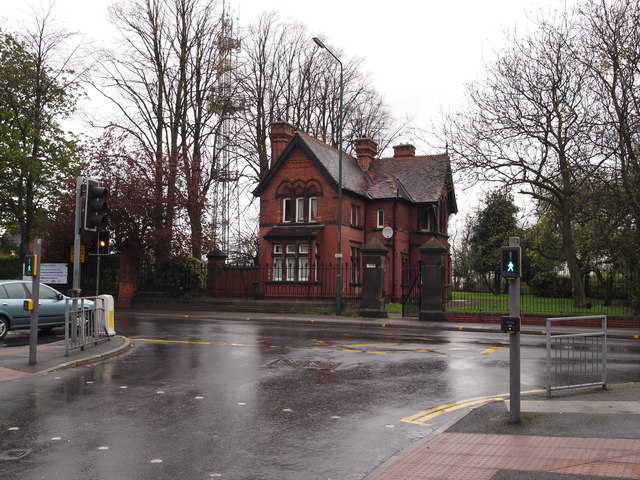
Image: © David Hallam-Jones Taken: 21 Apr 2012
Drivers and pedestrians successfully getting to the top of Porchester Road - the long uphill route from Carlton Road, NG4 (the B686) - are treated to this sight at the junction with Woodborough Rd, although sometimes it is more sunlit. The land and the covered reservoir inside the gate (and perhaps the house too) belong to the Severn Trent Water Authority, although the house appears to have been divided into several flats. To the left of the house the "Mapperley Ridge" radio transmitter can be seen, albeit that it stands on a separate plot of land. The "Water Board" site, the transmitter and the area beyond it, plus the area the left-hand side of this picture are in the NG5 postal area, Porchester Road acting as the boundary.
Images are licensed for reuse under creativecommons.org/licenses/by-sa/2.0
Image Location
Latitude
52.981493
Longitude
-1.126564