Forestry road descending
Introduction
The photograph on this page of Forestry road descending by Trevor Littlewood as part of the Geograph project.
The Geograph project started in 2005 with the aim of publishing, organising and preserving representative images for every square kilometre of Great Britain, Ireland and the Isle of Man.

There are currently over 7.5m images from over 14,400 individuals and you can help contribute to the project by visiting https://www.geograph.org.uk
Forestry road descending
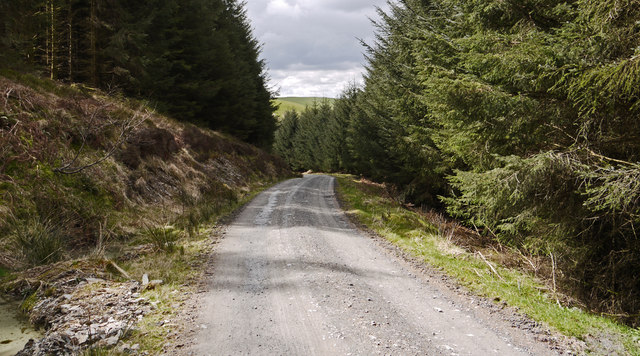
Image: © Trevor Littlewood Taken: 15 Apr 2012
The road is in the forest, Coed Bryn Arau Duon, in the south-west of Garn Fawr. The road's descent is towards the forest edge and the valley of the Nant y Gerddinen.
Images are licensed for reuse under creativecommons.org/licenses/by-sa/2.0
Image Location
Latitude
52.106697
Longitude
-3.873323