North Lodge gates
Introduction
The photograph on this page of North Lodge gates by Thomas Nugent as part of the Geograph project.
The Geograph project started in 2005 with the aim of publishing, organising and preserving representative images for every square kilometre of Great Britain, Ireland and the Isle of Man.

There are currently over 7.5m images from over 14,400 individuals and you can help contribute to the project by visiting https://www.geograph.org.uk
North Lodge gates
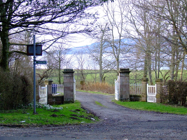
Image: © Thomas Nugent Taken: 19 Feb 2012
The gates and the lodge (not seen) are Category B Listed structures http://portal.historicenvironment.scot/designation/LB12479 . The north entrance to Ardgowan House, from the A770 Cloch Road near Lunderston Bay. See the lodge here Image
Images are licensed for reuse under creativecommons.org/licenses/by-sa/2.0
Image Location


Leaflet Map data © OpenStreetMap
Latitude
55.922943
Longitude
-4.871271