Ferrier Estate, Moorehead Way
Introduction
The photograph on this page of Ferrier Estate, Moorehead Way by Stephen Richards as part of the Geograph project.
The Geograph project started in 2005 with the aim of publishing, organising and preserving representative images for every square kilometre of Great Britain, Ireland and the Isle of Man.

There are currently over 7.5m images from over 14,400 individuals and you can help contribute to the project by visiting https://www.geograph.org.uk
Ferrier Estate, Moorehead Way
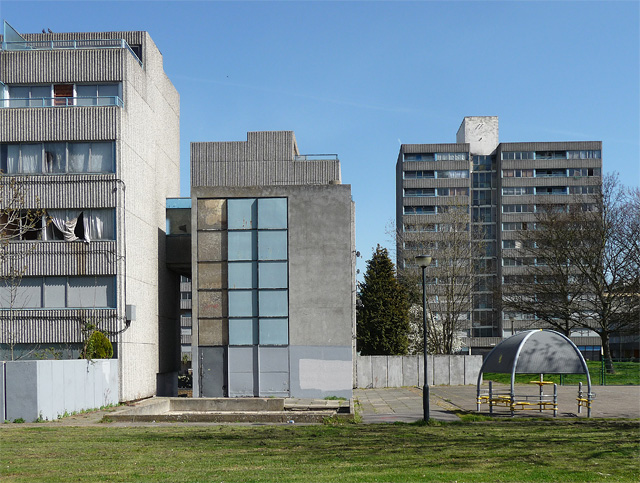
Image: © Stephen Richards Taken: 1 Apr 2012
Soon to be the ex-Ferrier Estate. Much of it has already been turned to dust, to be supplanted by a more modern experiment. The estate was built by the Greater London Council and completed in 1970.
Images are licensed for reuse under creativecommons.org/licenses/by-sa/2.0
Image Location


Leaflet Map data © OpenStreetMap
Latitude
51.462384
Longitude
0.021535