Clarence Walk
Introduction
The photograph on this page of Clarence Walk by Ian Capper as part of the Geograph project.
The Geograph project started in 2005 with the aim of publishing, organising and preserving representative images for every square kilometre of Great Britain, Ireland and the Isle of Man.

There are currently over 7.5m images from over 14,400 individuals and you can help contribute to the project by visiting https://www.geograph.org.uk
Clarence Walk
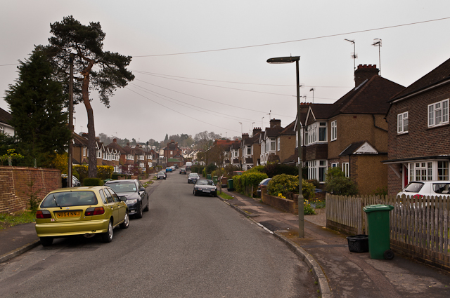
Image: © Ian Capper Taken: 13 Apr 2012
1930s housing south of Meadvale. Although the style of housing on either side of the road appears to be similar, a 1935 map shows only the right hand side to have been developed at that time.
Images are licensed for reuse under creativecommons.org/licenses/by-sa/2.0
Image Location
Latitude
51.225512
Longitude
-0.187107