Nottingham - NG3
Introduction
The photograph on this page of Nottingham - NG3 by David Hallam-Jones as part of the Geograph project.
The Geograph project started in 2005 with the aim of publishing, organising and preserving representative images for every square kilometre of Great Britain, Ireland and the Isle of Man.

There are currently over 7.5m images from over 14,400 individuals and you can help contribute to the project by visiting https://www.geograph.org.uk
Nottingham - NG3
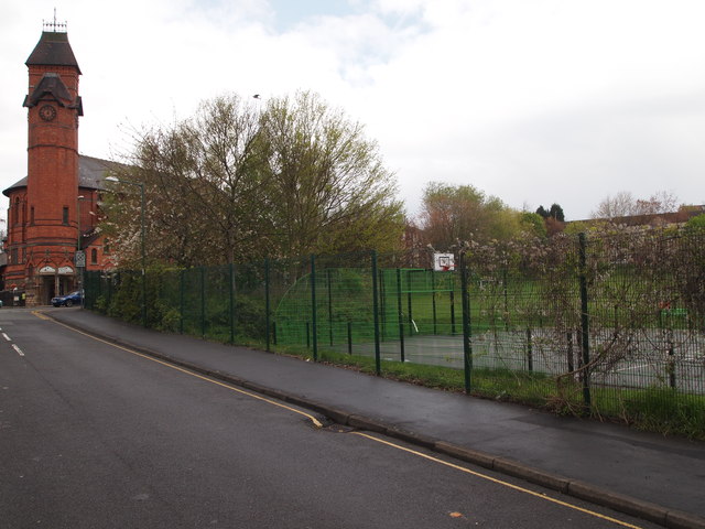
Image: © David Hallam-Jones Taken: 21 Apr 2012
The former Woodborough Road Baptist Church (now a Pakistani cultural centre) as seen from Alfred Street Central. The recreational facilities on the right-hand side of the picture belong to Huntingdon Roman Catholic Primary School.
Images are licensed for reuse under creativecommons.org/licenses/by-sa/2.0
Image Location
Latitude
52.962126
Longitude
-1.145862