The A6 at Eamont Bridge
Introduction
The photograph on this page of The A6 at Eamont Bridge by Rose and Trev Clough as part of the Geograph project.
The Geograph project started in 2005 with the aim of publishing, organising and preserving representative images for every square kilometre of Great Britain, Ireland and the Isle of Man.

There are currently over 7.5m images from over 14,400 individuals and you can help contribute to the project by visiting https://www.geograph.org.uk
The A6 at Eamont Bridge
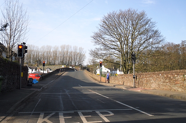
Image: © Rose and Trev Clough Taken: 25 Mar 2012
The bridge dates from around the 15th century, it was widened in 1875 http://www.imagesofengland.org.uk/details/default.aspx?id=72755 but can still only take single-file traffic. A side view of the bridge and River Eamont here Image .
Images are licensed for reuse under creativecommons.org/licenses/by-sa/2.0
Image Location
Latitude
54.651393
Longitude
-2.742026