Across the Trent
Introduction
The photograph on this page of Across the Trent by John Sutton as part of the Geograph project.
The Geograph project started in 2005 with the aim of publishing, organising and preserving representative images for every square kilometre of Great Britain, Ireland and the Isle of Man.

There are currently over 7.5m images from over 14,400 individuals and you can help contribute to the project by visiting https://www.geograph.org.uk
Across the Trent
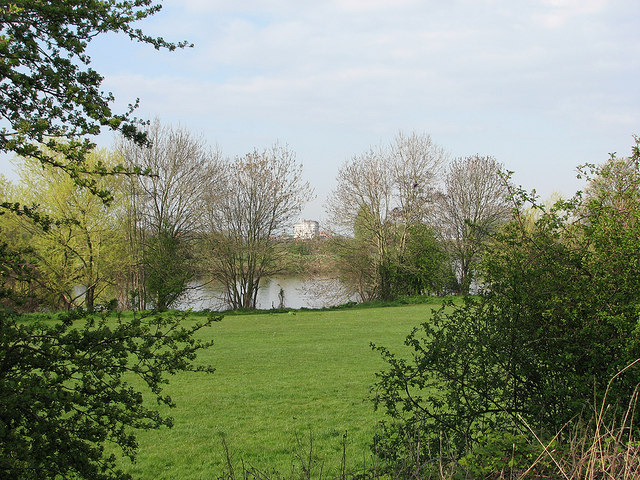
Image: © John Sutton Taken: 20 Apr 2012
A view from Colwick towards Lady Bay. A small amount of zoom to frame the shot foreshortens the distance to the county council's Trent Bridge House, getting on for a mile away on the corner of Trent Bridge Cricket Ground.
Images are licensed for reuse under creativecommons.org/licenses/by-sa/2.0
Image Location
Latitude
52.944259
Longitude
-1.111986