Whither the footpath?
Introduction
The photograph on this page of Whither the footpath? by Peter Turner as part of the Geograph project.
The Geograph project started in 2005 with the aim of publishing, organising and preserving representative images for every square kilometre of Great Britain, Ireland and the Isle of Man.

There are currently over 7.5m images from over 14,400 individuals and you can help contribute to the project by visiting https://www.geograph.org.uk
Whither the footpath?
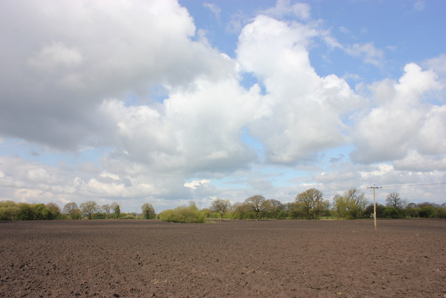
Image: © Peter Turner Taken: 21 Apr 2012
Fairly newly ploughed and heavily rained over no apparent path and no obvious destination point visible. The second tall tree to the left of the pole turned out to have a waymark adjacent.
Images are licensed for reuse under creativecommons.org/licenses/by-sa/2.0
Image Location
Latitude
53.146573
Longitude
-2.262351