Approaching Avonwick
Introduction
The photograph on this page of Approaching Avonwick by Derek Harper as part of the Geograph project.
The Geograph project started in 2005 with the aim of publishing, organising and preserving representative images for every square kilometre of Great Britain, Ireland and the Isle of Man.

There are currently over 7.5m images from over 14,400 individuals and you can help contribute to the project by visiting https://www.geograph.org.uk
Approaching Avonwick
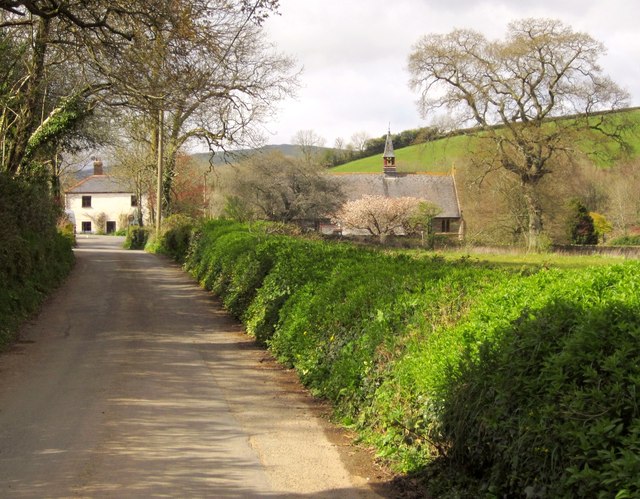
Image: © Derek Harper Taken: 19 Apr 2012
The road from North Huish runs alongside a tennis club and open field on the right; housing is behind the trees on the left. Ahead, right of centre, is Image
Images are licensed for reuse under creativecommons.org/licenses/by-sa/2.0
Image Location
Latitude
50.409348
Longitude
-3.813009