Modern housing on Wakeley Hill in Penn, Wolverhampton
Introduction
The photograph on this page of Modern housing on Wakeley Hill in Penn, Wolverhampton by Roger D Kidd as part of the Geograph project.
The Geograph project started in 2005 with the aim of publishing, organising and preserving representative images for every square kilometre of Great Britain, Ireland and the Isle of Man.

There are currently over 7.5m images from over 14,400 individuals and you can help contribute to the project by visiting https://www.geograph.org.uk
Modern housing on Wakeley Hill in Penn, Wolverhampton
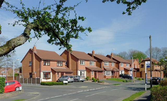
Image: © Roger D Kidd Taken: 29 Mar 2012
Off to the left is The Fold. Wakeley Hill leads from near the A449 to Penn Common and the Barley Mow public house. In Victorian times this was Wakeley Lane (not Hill), and was often called Workhouse Lane*. Before the building of the golf course, the old route also continued (unsurfaced) to Gospel End. * Old tithe maps from the 1840s show the workhouse about 220 metres further up the hill, and on the right, past Butts Road. It is now called Ivy Terrace.
Images are licensed for reuse under creativecommons.org/licenses/by-sa/2.0
Image Location


Leaflet Map data © OpenStreetMap
Latitude
52.558261
Longitude
-2.155144