Loch Bhrusda from Beinn Shleibhe
Introduction
The photograph on this page of Loch Bhrusda from Beinn Shleibhe by Julian Paren as part of the Geograph project.
The Geograph project started in 2005 with the aim of publishing, organising and preserving representative images for every square kilometre of Great Britain, Ireland and the Isle of Man.

There are currently over 7.5m images from over 14,400 individuals and you can help contribute to the project by visiting https://www.geograph.org.uk
Loch Bhrusda from Beinn Shleibhe
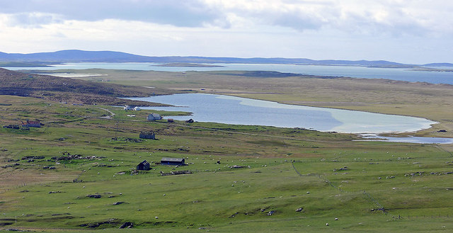
Image: © Julian Paren Taken: 15 Apr 2012
Loch Bhrusda is a large freshwater loch lying between the machair and the improved farmland.
Images are licensed for reuse under creativecommons.org/licenses/by-sa/2.0
Image Location
Latitude
57.72637
Longitude
-7.179379