The Wodehouse Pool
Introduction
The photograph on this page of The Wodehouse Pool by John M as part of the Geograph project.
The Geograph project started in 2005 with the aim of publishing, organising and preserving representative images for every square kilometre of Great Britain, Ireland and the Isle of Man.

There are currently over 7.5m images from over 14,400 individuals and you can help contribute to the project by visiting https://www.geograph.org.uk
The Wodehouse Pool
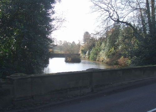
Image: © John M Taken: 2 Dec 2006
The Wom Brook is dammed to create an ornamental lake in front of the Wodehouse.
Images are licensed for reuse under creativecommons.org/licenses/by-sa/2.0
Image Location
Latitude
52.540134
Longitude
-2.170989