Brandy Hole Marshes
Introduction
The photograph on this page of Brandy Hole Marshes by John Myers as part of the Geograph project.
The Geograph project started in 2005 with the aim of publishing, organising and preserving representative images for every square kilometre of Great Britain, Ireland and the Isle of Man.

There are currently over 7.5m images from over 14,400 individuals and you can help contribute to the project by visiting https://www.geograph.org.uk
Brandy Hole Marshes
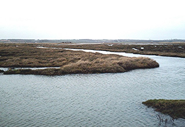
Image: © John Myers Taken: 12 Apr 2006
View north from the "new" sea wall north of the Dome built around the time (ca. 1965) that a high-pressure natural gas pipeline was run across these marshes
Images are licensed for reuse under creativecommons.org/licenses/by-sa/2.0
Image Location
Latitude
51.619405
Longitude
0.64928