The road to Upper Ludstone, Shropshire
Introduction
The photograph on this page of The road to Upper Ludstone, Shropshire by Roger D Kidd as part of the Geograph project.
The Geograph project started in 2005 with the aim of publishing, organising and preserving representative images for every square kilometre of Great Britain, Ireland and the Isle of Man.

There are currently over 7.5m images from over 14,400 individuals and you can help contribute to the project by visiting https://www.geograph.org.uk
The road to Upper Ludstone, Shropshire
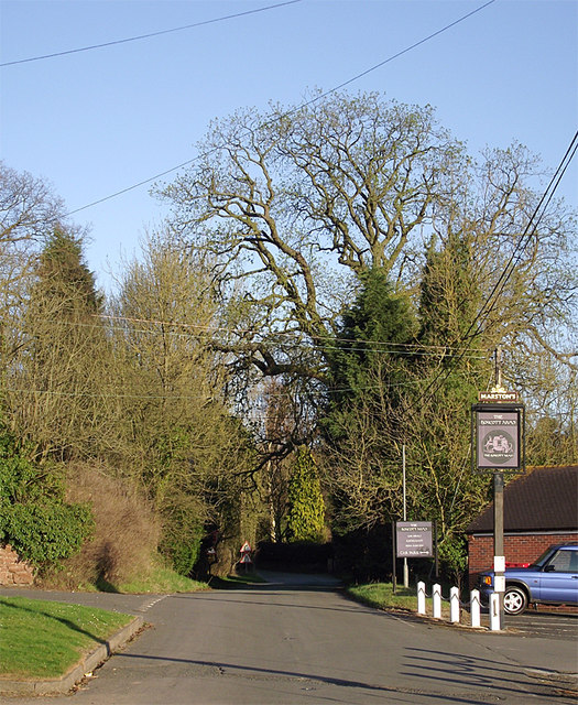
Image: © Roger D Kidd Taken: 25 Mar 2012
The Boycott Arms is off to the left; its car park and pub sign being to the right. The lane ahead was formerly the main road towards Dudley, but now the B4176, sometimes quite a busy road, has been widened and diverted a short distance to the south-west (right).
Images are licensed for reuse under creativecommons.org/licenses/by-sa/2.0
Image Location
Latitude
52.555059
Longitude
-2.293451