Paths across open space, Tanfield Lea
Introduction
The photograph on this page of Paths across open space, Tanfield Lea by Christine Johnstone as part of the Geograph project.
The Geograph project started in 2005 with the aim of publishing, organising and preserving representative images for every square kilometre of Great Britain, Ireland and the Isle of Man.

There are currently over 7.5m images from over 14,400 individuals and you can help contribute to the project by visiting https://www.geograph.org.uk
Paths across open space, Tanfield Lea
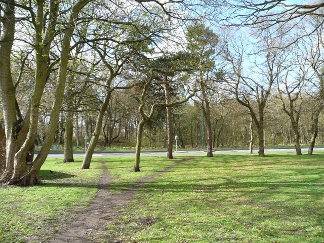
Image: © Christine Johnstone Taken: 13 Apr 2012
Between New Front Street and the B6173.
Images are licensed for reuse under creativecommons.org/licenses/by-sa/2.0
Image Location
Latitude
54.881228
Longitude
-1.713338