North Circular Road (A406) developments
Introduction
The photograph on this page of North Circular Road (A406) developments by John Reeves as part of the Geograph project.
The Geograph project started in 2005 with the aim of publishing, organising and preserving representative images for every square kilometre of Great Britain, Ireland and the Isle of Man.

There are currently over 7.5m images from over 14,400 individuals and you can help contribute to the project by visiting https://www.geograph.org.uk
North Circular Road (A406) developments
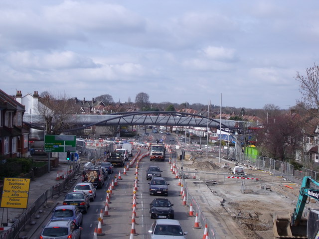
Image: © John Reeves Taken: 3 Mar 2011
View WNW from footbridge (since removed) by Bowes Primary School, with new footbridge over re-configured junction.
Images are licensed for reuse under creativecommons.org/licenses/by-sa/2.0
Image Location
Latitude
51.614853
Longitude
-0.127408