Former milk churn stand
Introduction
The photograph on this page of Former milk churn stand by Philip Halling as part of the Geograph project.
The Geograph project started in 2005 with the aim of publishing, organising and preserving representative images for every square kilometre of Great Britain, Ireland and the Isle of Man.

There are currently over 7.5m images from over 14,400 individuals and you can help contribute to the project by visiting https://www.geograph.org.uk
Former milk churn stand
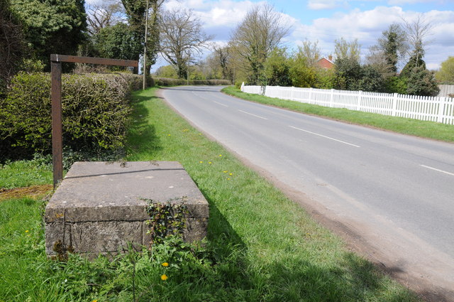
Image: © Philip Halling Taken: 15 Apr 2012
It is still possible to come across former milk stands such as this one at Breadstone, they became redundant when all milk collection was with bulk tankers, probably back in the 1970s. On the opposite side of the road behind the white fence used to be the parish church which has been demolished.
Images are licensed for reuse under creativecommons.org/licenses/by-sa/2.0
Image Location
Latitude
51.704531
Longitude
-2.427283