Gilda Crescent, N16
Introduction
The photograph on this page of Gilda Crescent, N16 by Danny P Robinson as part of the Geograph project.
The Geograph project started in 2005 with the aim of publishing, organising and preserving representative images for every square kilometre of Great Britain, Ireland and the Isle of Man.

There are currently over 7.5m images from over 14,400 individuals and you can help contribute to the project by visiting https://www.geograph.org.uk
Gilda Crescent, N16
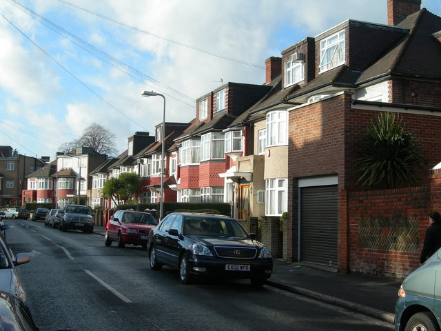
Image: © Danny P Robinson Taken: 3 Dec 2006
Almost every house on this road has been extended. This is an area where many Orthodox Jewish families live, and many have large households.
Images are licensed for reuse under creativecommons.org/licenses/by-sa/2.0
Image Location
Latitude
51.566765
Longitude
-0.062289