Carshalton: Talbot Road
Introduction
The photograph on this page of Carshalton: Talbot Road by Dr Neil Clifton as part of the Geograph project.
The Geograph project started in 2005 with the aim of publishing, organising and preserving representative images for every square kilometre of Great Britain, Ireland and the Isle of Man.

There are currently over 7.5m images from over 14,400 individuals and you can help contribute to the project by visiting https://www.geograph.org.uk
Carshalton: Talbot Road
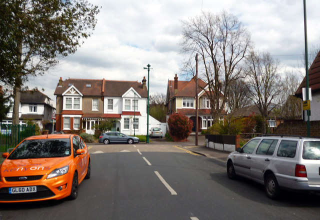
Image: © Dr Neil Clifton Taken: 16 Apr 2012
Looking east to where Talbot Road joins Rotherfield Road in a T-junction, we see one of the ornamental sewer vent pipes, this one having lost its crown, which would have been at the top.
Images are licensed for reuse under creativecommons.org/licenses/by-sa/2.0
Image Location
Latitude
51.364089
Longitude
-0.158197