Bridleway in Lower Brimley
Introduction
The photograph on this page of Bridleway in Lower Brimley by David Smith as part of the Geograph project.
The Geograph project started in 2005 with the aim of publishing, organising and preserving representative images for every square kilometre of Great Britain, Ireland and the Isle of Man.

There are currently over 7.5m images from over 14,400 individuals and you can help contribute to the project by visiting https://www.geograph.org.uk
Bridleway in Lower Brimley
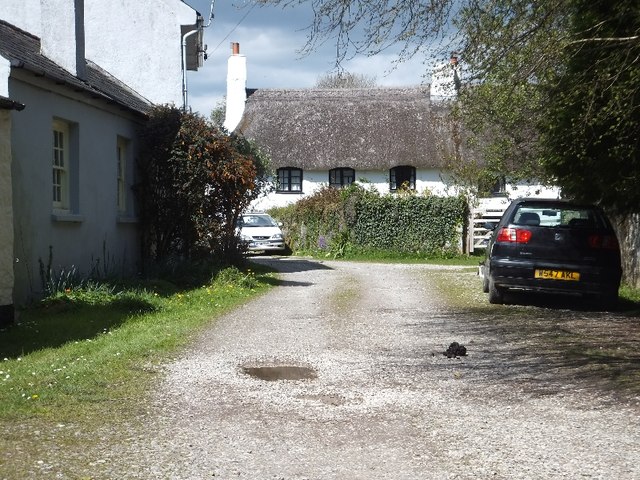
Image: © David Smith Taken: 16 Apr 2012
Lower Brimley is at a crossroads, but only two arms are metalled. This track is a bridleway leading to Lower Down, passing several farms on the way.
Images are licensed for reuse under creativecommons.org/licenses/by-sa/2.0
Image Location
Latitude
50.581437
Longitude
-3.697285