View north-eastwards across farrmland towards Rathfriland
Introduction
The photograph on this page of View north-eastwards across farrmland towards Rathfriland by Eric Jones as part of the Geograph project.
The Geograph project started in 2005 with the aim of publishing, organising and preserving representative images for every square kilometre of Great Britain, Ireland and the Isle of Man.

There are currently over 7.5m images from over 14,400 individuals and you can help contribute to the project by visiting https://www.geograph.org.uk
View north-eastwards across farrmland towards Rathfriland
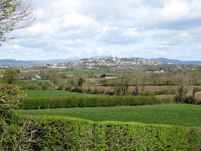
Image: © Eric Jones Taken: 14 Apr 2012
The land between the view point and the outskirts of Rathfriland is in the Newry and Mourne Local Government District. The built up area of Rathfriland was transferred to the Banbridge Local Government District in 1993.
Images are licensed for reuse under creativecommons.org/licenses/by-sa/2.0
Image Location
Latitude
54.236241
Longitude
-6.165238