Higher Yetland
Introduction
The photograph on this page of Higher Yetland by Peter Kazmierczak as part of the Geograph project.
The Geograph project started in 2005 with the aim of publishing, organising and preserving representative images for every square kilometre of Great Britain, Ireland and the Isle of Man.

There are currently over 7.5m images from over 14,400 individuals and you can help contribute to the project by visiting https://www.geograph.org.uk
Higher Yetland
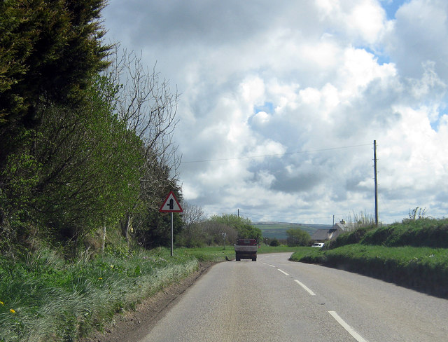
Image: © Peter Kazmierczak Taken: 11 Apr 2012
The minor road turning off the A3123 here, Wheel Lane, leads to Henstridge.
Images are licensed for reuse under creativecommons.org/licenses/by-sa/2.0
Image Location
Latitude
51.178503
Longitude
-4.035031