Chester-le-Street: Ropery Lane Cricket Ground
Introduction
The photograph on this page of Chester-le-Street: Ropery Lane Cricket Ground by John Sutton as part of the Geograph project.
The Geograph project started in 2005 with the aim of publishing, organising and preserving representative images for every square kilometre of Great Britain, Ireland and the Isle of Man.

There are currently over 7.5m images from over 14,400 individuals and you can help contribute to the project by visiting https://www.geograph.org.uk
Chester-le-Street: Ropery Lane Cricket Ground
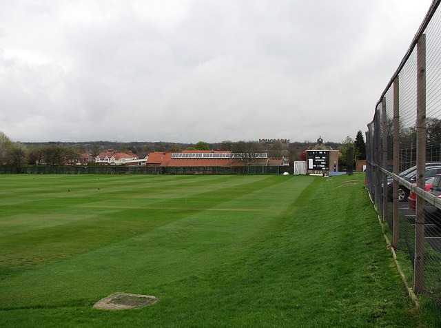
Image: © John Sutton Taken: 12 Apr 2012
A view along the boundary towards the scoreboard, with the bellcote of St Cuthbert's RC Church above it and Lumley Castle on the skyline to the left. Chester-le-Street CC plays in the North Eastern Premier League. One County Championship match was played here, in 1993, Durham's second season as a first-class county: Durham (308 and 164) lost to Nottinghamshire (629) by an innings and 157 runs.
Images are licensed for reuse under creativecommons.org/licenses/by-sa/2.0
Image Location
Latitude
54.851781
Longitude
-1.570569