Mown field above Leapmill Burn
Introduction
The photograph on this page of Mown field above Leapmill Burn by Christine Johnstone as part of the Geograph project.
The Geograph project started in 2005 with the aim of publishing, organising and preserving representative images for every square kilometre of Great Britain, Ireland and the Isle of Man.

There are currently over 7.5m images from over 14,400 individuals and you can help contribute to the project by visiting https://www.geograph.org.uk
Mown field above Leapmill Burn
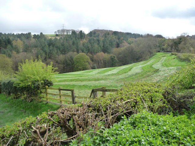
Image: © Christine Johnstone Taken: 12 Apr 2012
Unusual to see a mown field in April, but I think it is related to the re-introduction of red kites locally.
Images are licensed for reuse under creativecommons.org/licenses/by-sa/2.0
Image Location


Leaflet Map data © OpenStreetMap
Latitude
54.91092
Longitude
-1.729505