Erskine Harbour
Introduction
The photograph on this page of Erskine Harbour by James T M Towill as part of the Geograph project.
The Geograph project started in 2005 with the aim of publishing, organising and preserving representative images for every square kilometre of Great Britain, Ireland and the Isle of Man.

There are currently over 7.5m images from over 14,400 individuals and you can help contribute to the project by visiting https://www.geograph.org.uk
Erskine Harbour
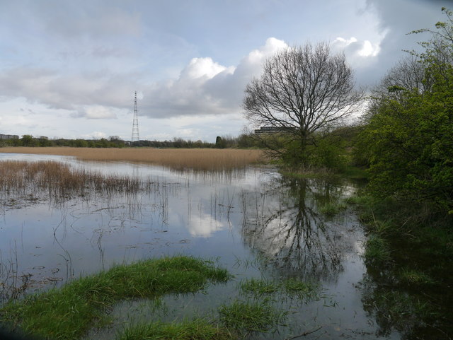
Image: © James T M Towill Taken: 10 Apr 2012
A view of the reed-fringed remains of the harbour during a spring high tide. The Erskine Bridge Hotel can be seen through the trees.
Images are licensed for reuse under creativecommons.org/licenses/by-sa/2.0
Image Location
Latitude
55.91567
Longitude
-4.460043