The Drill and Brentwood Rd
Introduction
The photograph on this page of The Drill and Brentwood Rd by Glyn Baker as part of the Geograph project.
The Geograph project started in 2005 with the aim of publishing, organising and preserving representative images for every square kilometre of Great Britain, Ireland and the Isle of Man.

There are currently over 7.5m images from over 14,400 individuals and you can help contribute to the project by visiting https://www.geograph.org.uk
The Drill and Brentwood Rd
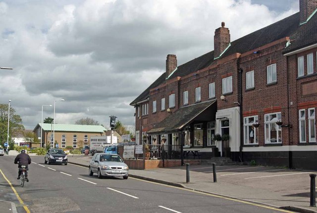
Image: © Glyn Baker Taken: 10 Apr 2012
Looking along Brentwood Road with the Drill Pub to the right and Gidea park Methodist Church in the background
Images are licensed for reuse under creativecommons.org/licenses/by-sa/2.0
Image Location
Latitude
51.577554
Longitude
0.20763