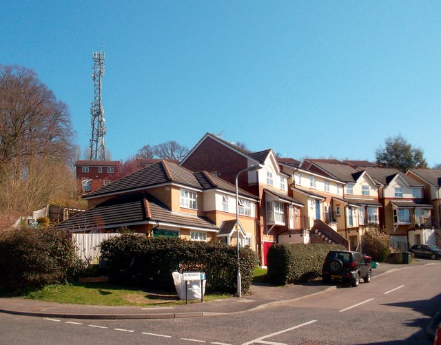
Blaenant, Caversham
Introduction
The photograph on this page of Blaenant, Caversham by Des Blenkinsopp as part of the Geograph project.
The Geograph project started in 2005 with the aim of publishing, organising and preserving representative images for every square kilometre of Great Britain, Ireland and the Isle of Man.
There are currently over 7.5m images from over 14,400 individuals and you can help contribute to the project by visiting https://www.geograph.org.uk

Image: © Des Blenkinsopp Taken: 27 Mar 2012
Totally out-welshing the Cardiff Road, Newport Road, Swansea Road enclave just over Caversham Bridge, up here overlooking Hemdean (or Bugs) Bottom is a whole estate of single word Welsh named streets. This is Blaenant, and just along the way are Tymawr, Treforgan, Blaenavon, Glenrhondda, Rhigos, Cwmcarn and a few more. They must have a fine time explaining it all to the Polish postman, but it's got to be more imaginative than the predictable "Badgers Rise" which is just over the back from here.

