Upper Field/Lower Field
Introduction
The photograph on this page of Upper Field/Lower Field by Simon Carey as part of the Geograph project.
The Geograph project started in 2005 with the aim of publishing, organising and preserving representative images for every square kilometre of Great Britain, Ireland and the Isle of Man.

There are currently over 7.5m images from over 14,400 individuals and you can help contribute to the project by visiting https://www.geograph.org.uk
Upper Field/Lower Field
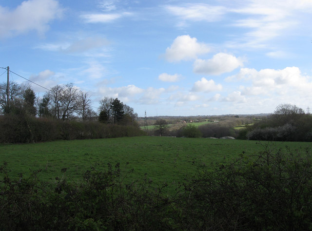
Image: © Simon Carey Taken: 10 Apr 2012
The name of the fields according to East Hoathly's 1839 tithe map that have been joined together along with a couple of others to form a large strip adjacent to Graywood Lane on the left and stretching from Stalkers Lane down to Graywood Farm whose barn buildings can just be made out.
Images are licensed for reuse under creativecommons.org/licenses/by-sa/2.0
Image Location
Latitude
50.930448
Longitude
0.185812