St Peter and St Paul Church, Upper Hardres
Introduction
The photograph on this page of St Peter and St Paul Church, Upper Hardres by Chris Morgan as part of the Geograph project.
The Geograph project started in 2005 with the aim of publishing, organising and preserving representative images for every square kilometre of Great Britain, Ireland and the Isle of Man.

There are currently over 7.5m images from over 14,400 individuals and you can help contribute to the project by visiting https://www.geograph.org.uk
St Peter and St Paul Church, Upper Hardres
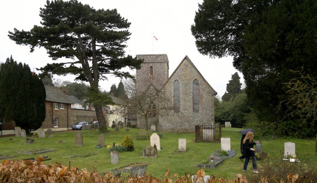
Image: © Chris Morgan Taken: 8 Apr 2012
I cannot better the following description; http://www.upperhardrespc.kentparishes.gov.uk/default.cfm?pid=1243
Images are licensed for reuse under creativecommons.org/licenses/by-sa/2.0
Image Location
Latitude
51.215088
Longitude
1.080828