Crossroads on the Ouley Road at Annaghbane
Introduction
The photograph on this page of Crossroads on the Ouley Road at Annaghbane by Eric Jones as part of the Geograph project.
The Geograph project started in 2005 with the aim of publishing, organising and preserving representative images for every square kilometre of Great Britain, Ireland and the Isle of Man.

There are currently over 7.5m images from over 14,400 individuals and you can help contribute to the project by visiting https://www.geograph.org.uk
Crossroads on the Ouley Road at Annaghbane
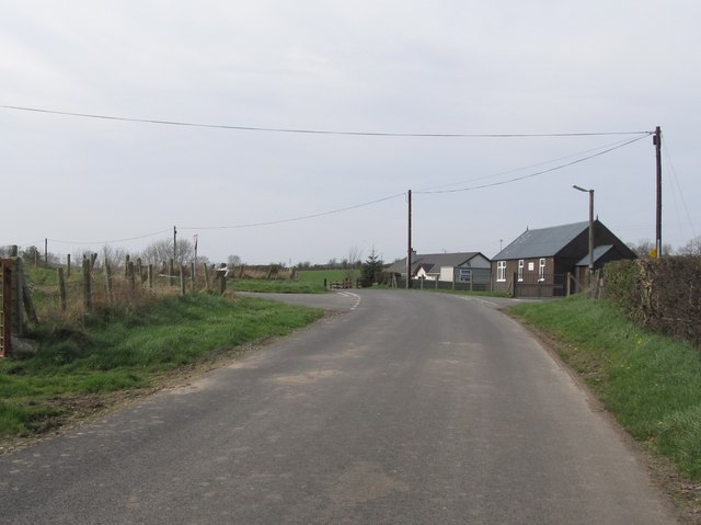
Image: © Eric Jones Taken: 24 Mar 2012
Here Ouley Road is joined from the left by Cargabane Road and from the right by Glaskerbeg Road. The tin roofed building at the cross roads is an outreach mission hall.
Images are licensed for reuse under creativecommons.org/licenses/by-sa/2.0
Image Location
Latitude
54.264996
Longitude
-6.274934