Footbridge abutment and flank walls
Introduction
The photograph on this page of Footbridge abutment and flank walls by Robin Stott as part of the Geograph project.
The Geograph project started in 2005 with the aim of publishing, organising and preserving representative images for every square kilometre of Great Britain, Ireland and the Isle of Man.

There are currently over 7.5m images from over 14,400 individuals and you can help contribute to the project by visiting https://www.geograph.org.uk
Footbridge abutment and flank walls
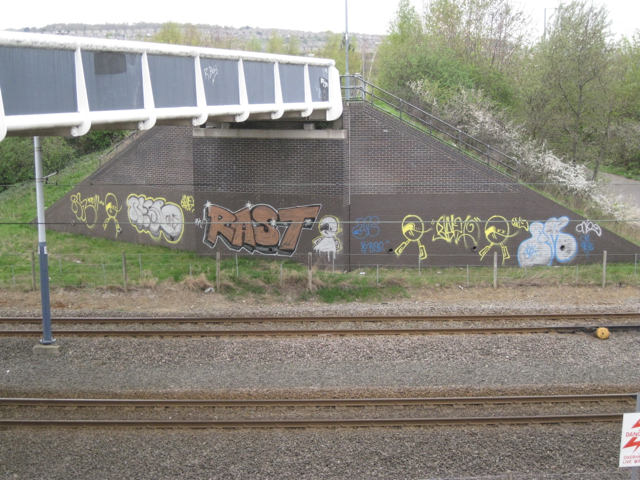
Image: © Robin Stott Taken: 3 Apr 2012
Between Sheffield Arena and Broughton Lane bridge over the Sheffield & Tinsley Canal. Shown on one map as an extension of Tinsley Park Road.
Images are licensed for reuse under creativecommons.org/licenses/by-sa/2.0
Image Location
Latitude
53.399549
Longitude
-1.416271