River Wandle near Deen City Farm
Introduction
The photograph on this page of River Wandle near Deen City Farm by Marathon as part of the Geograph project.
The Geograph project started in 2005 with the aim of publishing, organising and preserving representative images for every square kilometre of Great Britain, Ireland and the Isle of Man.

There are currently over 7.5m images from over 14,400 individuals and you can help contribute to the project by visiting https://www.geograph.org.uk
River Wandle near Deen City Farm
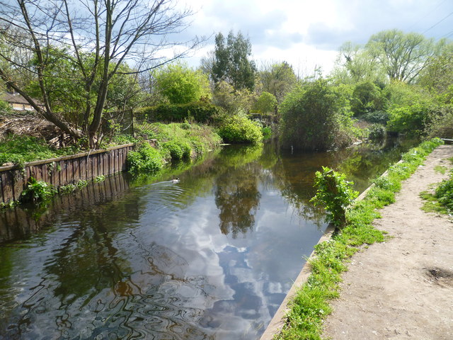
Image: © Marathon Taken: 11 Apr 2012
After its complicated pattern of courses within Morden Hall Park, the River Wandle passes out of the park under Tramlink as two channels, forming a long thin island. The two channels join up just ahead here, near the entrance to Deen City Farm.
Images are licensed for reuse under creativecommons.org/licenses/by-sa/2.0
Image Location
Latitude
51.408115
Longitude
-0.184611