Walkies along Route 64
Introduction
The photograph on this page of Walkies along Route 64 by Trevor Rickard as part of the Geograph project.
The Geograph project started in 2005 with the aim of publishing, organising and preserving representative images for every square kilometre of Great Britain, Ireland and the Isle of Man.

There are currently over 7.5m images from over 14,400 individuals and you can help contribute to the project by visiting https://www.geograph.org.uk
Walkies along Route 64
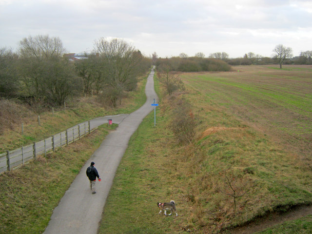
Image: © Trevor Rickard Taken: 22 Jan 2012
From the Hawton Lane bridge, looking southwards along National Cycle Route 64. The path follows the old trackbed of the Great Northern Railway line south from Newark to Bottesford, which opened in 1878 and closed in 1955.
Images are licensed for reuse under creativecommons.org/licenses/by-sa/2.0
Image Location
Latitude
53.055314
Longitude
-0.79862