The B6413 through Lazonby
Introduction
The photograph on this page of The B6413 through Lazonby by John Baker as part of the Geograph project.
The Geograph project started in 2005 with the aim of publishing, organising and preserving representative images for every square kilometre of Great Britain, Ireland and the Isle of Man.

There are currently over 7.5m images from over 14,400 individuals and you can help contribute to the project by visiting https://www.geograph.org.uk
The B6413 through Lazonby
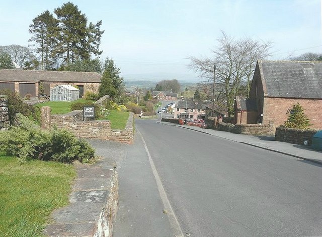
Image: © John Baker Taken: 24 Mar 2012
The first building on the right is a Methodist Chapel while in the distance is the Lazonby and Kirkoswald railway station on the Settle to Carlisle line
Images are licensed for reuse under creativecommons.org/licenses/by-sa/2.0
Image Location
Latitude
54.749843
Longitude
-2.704674