Path by Balderton Lake
Introduction
The photograph on this page of Path by Balderton Lake by Trevor Rickard as part of the Geograph project.
The Geograph project started in 2005 with the aim of publishing, organising and preserving representative images for every square kilometre of Great Britain, Ireland and the Isle of Man.

There are currently over 7.5m images from over 14,400 individuals and you can help contribute to the project by visiting https://www.geograph.org.uk
Path by Balderton Lake
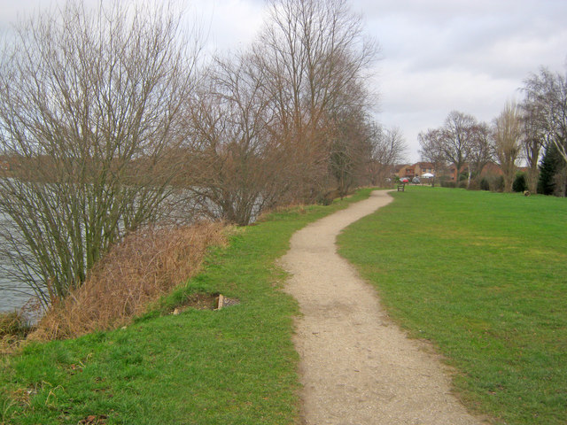
Image: © Trevor Rickard Taken: 22 Jan 2012
Heading north-east towards Heron Way. It is possible to make a circuit of the lake, but not all the paths are as well-made as this section.
Images are licensed for reuse under creativecommons.org/licenses/by-sa/2.0
Image Location
Latitude
53.05832
Longitude
-0.793612