Confluence of River Graveney with the River Wandle
Introduction
The photograph on this page of Confluence of River Graveney with the River Wandle by Marathon as part of the Geograph project.
The Geograph project started in 2005 with the aim of publishing, organising and preserving representative images for every square kilometre of Great Britain, Ireland and the Isle of Man.

There are currently over 7.5m images from over 14,400 individuals and you can help contribute to the project by visiting https://www.geograph.org.uk
Confluence of River Graveney with the River Wandle
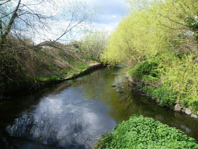
Image: © Marathon Taken: 11 Apr 2012
This view is from a metal viewing platform which has been provided leading from the Wandle Trail, just north of the railway line between Haydons Road and Tooting. The smaller River Graveney, which rises near Addiscombe, is on the right as it flows into the Wandle.
Images are licensed for reuse under creativecommons.org/licenses/by-sa/2.0
Image Location
Latitude
51.425211
Longitude
-0.185228