Massive masonry flanking a weir, Wisewood
Introduction
The photograph on this page of Massive masonry flanking a weir, Wisewood by Robin Stott as part of the Geograph project.
The Geograph project started in 2005 with the aim of publishing, organising and preserving representative images for every square kilometre of Great Britain, Ireland and the Isle of Man.

There are currently over 7.5m images from over 14,400 individuals and you can help contribute to the project by visiting https://www.geograph.org.uk
Massive masonry flanking a weir, Wisewood
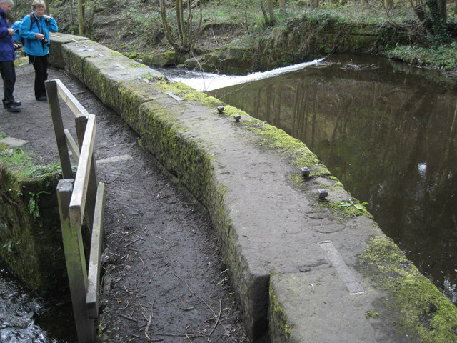
Image: © Robin Stott Taken: 5 Apr 2012
The River Loxley flows over a weir. Below the camera and lower left is the intake from the river to feed the former mill pond of the former Wisewood Forge and Rolling Mill.
Images are licensed for reuse under creativecommons.org/licenses/by-sa/2.0
Image Location
Latitude
53.402542
Longitude
-1.523622