Leicester - LE1
Introduction
The photograph on this page of Leicester - LE1 by David Hallam-Jones as part of the Geograph project.
The Geograph project started in 2005 with the aim of publishing, organising and preserving representative images for every square kilometre of Great Britain, Ireland and the Isle of Man.

There are currently over 7.5m images from over 14,400 individuals and you can help contribute to the project by visiting https://www.geograph.org.uk
Leicester - LE1
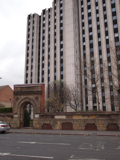
Image: © David Hallam-Jones Taken: 31 Mar 2012
A multi-storey block of flats on Oxford Street in the Southfields area - near to the Royal Infirmary - overshadows the remains of an old doorway or gateway leading into a communal open-space/turfed area.
Images are licensed for reuse under creativecommons.org/licenses/by-sa/2.0
Image Location
Latitude
52.62952
Longitude
-1.13536