Leicester - Eastern Boulevard Area
Introduction
The photograph on this page of Leicester - Eastern Boulevard Area by David Hallam-Jones as part of the Geograph project.
The Geograph project started in 2005 with the aim of publishing, organising and preserving representative images for every square kilometre of Great Britain, Ireland and the Isle of Man.

There are currently over 7.5m images from over 14,400 individuals and you can help contribute to the project by visiting https://www.geograph.org.uk
Leicester - Eastern Boulevard Area
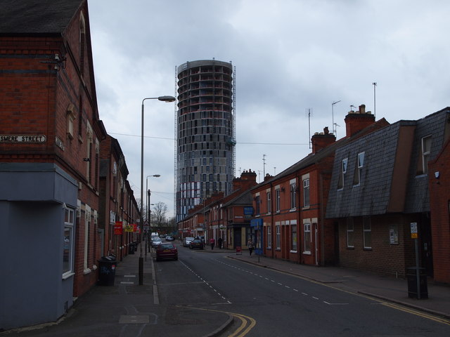
Image: © David Hallam-Jones Taken: 31 Mar 2012
Behind the Royal Infirmary and De Montfort University is this view down Jarrom Street looking in the direction of Eastern Boulevard from the junction with Grasmere Street. Mixed architecture with a rotunda-shaped block of flats in the distance.
Images are licensed for reuse under creativecommons.org/licenses/by-sa/2.0
Image Location
Latitude
52.626502
Longitude
-1.140738