Level crossing at the eastern end of Llanelli railway station
Introduction
The photograph on this page of Level crossing at the eastern end of Llanelli railway station by Jaggery as part of the Geograph project.
The Geograph project started in 2005 with the aim of publishing, organising and preserving representative images for every square kilometre of Great Britain, Ireland and the Isle of Man.

There are currently over 7.5m images from over 14,400 individuals and you can help contribute to the project by visiting https://www.geograph.org.uk
Level crossing at the eastern end of Llanelli railway station
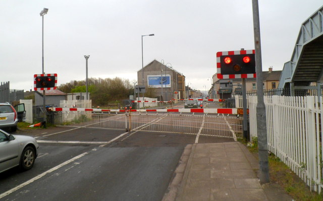
Image: © Jaggery Taken: 8 Apr 2012
Viewed from Station Road, which is renamed New Dock Road on the far side of the level crossing. The barriers were lowered a few minutes before the passage of a train across the road. Pedestrians can use the footbridge http://www.geograph.org.uk/photo/2892868 on the right when the barriers are down.
Images are licensed for reuse under creativecommons.org/licenses/by-sa/2.0
Image Location


Leaflet Map data © OpenStreetMap
Latitude
51.672575
Longitude
-4.160519