M40 junction 5 - joining westbound slip road
Introduction
The photograph on this page of M40 junction 5 - joining westbound slip road by Stuart Logan as part of the Geograph project.
The Geograph project started in 2005 with the aim of publishing, organising and preserving representative images for every square kilometre of Great Britain, Ireland and the Isle of Man.

There are currently over 7.5m images from over 14,400 individuals and you can help contribute to the project by visiting https://www.geograph.org.uk
M40 junction 5 - joining westbound slip road
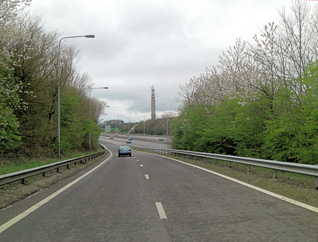
Image: © Stuart Logan Taken: 8 Apr 2012
Also in the picture is the Stokenchurch BT Tower, which is visible from miles around. This is a telecommunication tower built of reinforced concrete. It is one of the few British towers built of that material. Located 242 metres (794 ft) above sea level, it dates from 1963 and is 97.5 metres (320 ft) tall. There are four platforms at the top that are used to attach microwave transmission drums and other antennas. See also: http://en.wikipedia.org/wiki/Stokenchurch_BT_Tower
Images are licensed for reuse under creativecommons.org/licenses/by-sa/2.0
Image Location
Latitude
51.660552
Longitude
-0.914216